Christchurch Airport (CHC)
Orientation and Maps
(Christchurch, New Zealand)
The regional capital, Christchurch is somewhat English in character, with punting being a popular pastime along the Avon River. The city centre is dominated by Christchurch Cathedral, which is a useful point of reference when walking around and exploring the downtown district.
Standing on the southern outskirts of the city, Christchurch International Airport (CHC) is Canterbury's premier airport, being the international gateway for the whole of the South Island. The airport connects Christchurch with many international cities and overseas destinations.
Christchurch International Airport (CHC) Maps: Important City Districts
The very heart of the city is based around Cathedral Square, with many areas described in relation to this important area. To the west of Cathedral Square you will find the Christchurch Botanic Gardens, which are home to beautifully landscaped gardens, large conservatories and countless important plant collections.
Much of Christchurch is compact and the city is easy to walk around, with a number of riverside pathways. Stretching in a north / south direction along the side of Cathedral Square is Colombo Street, which is one of the main shopping districts in the city. Those looking for fine dining in Christchurch should head to Oxford Terrace, which is known for its cluster of restaurants. Nearby, New Regent Street features many impressive buildings with eye-catching Spanish mission-style facades.
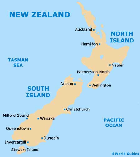
New Zealand Map
Christchurch Map

